Learn to Read the Ski Area: Use Maps and Descriptions as Your Best Tools

Learn to Read the Ski Area: Use Maps and Descriptions as Your Best Tools
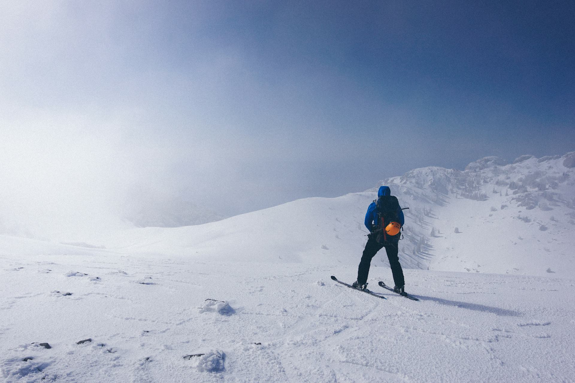
When you’re standing at the top of a mountain with skis on your feet, it’s easy to get caught up in the view and the thrill of fresh snow. But to make the most of your day—and to stay safe—it’s essential to know how to read the ski area. Maps, trail descriptions, and signs are your best tools for navigating the mountain with confidence. Here’s how to use them effectively.
Understand the Trail Map – Your Key to the Mountain
The trail map is your visual guide to the ski area. It shows lifts, trails, lodges, terrain parks, and the layout of the mountain. But it’s more than just a colorful picture—it’s a planning tool.
- Trail colors and symbols: In the U.S., green circles mark beginner runs, blue squares are for intermediates, and black diamonds (or double black) are for experts. Terrain parks and glades are often marked with special icons. Always check the legend before heading out.
- Lift directions: Arrows and lines show where lifts start and end. Knowing this helps you plan routes that keep you connected to the main base area and avoid getting stranded on the wrong side of the mountain.
- Sun exposure: Many maps indicate which slopes face east, south, or west. Morning sun can soften icy runs, while north-facing slopes often hold better snow later in the day.
A smart tip: take a photo of the trail map with your phone before you start skiing. That way, you’ll always have it handy—even if you lose the paper version.
Read the Descriptions – They Tell You More Than You Think
Most ski resorts provide written descriptions of trails, either on their websites, in brochures, or on signs near the lifts. These details can help you choose runs that match your ability and preferences.
- Technical details: Descriptions often mention whether a trail is wide and groomed or narrow and steep. This helps you avoid surprises and pick runs that suit your comfort level.
- Special conditions: Some trails open only when snow coverage is good or when avalanche control is complete. Always check the daily updates posted at the base area or on the resort’s app.
- Family and scenic routes: Many resorts feature trails designed for fun and exploration—like tree runs, scenic routes with mountain views, or gentle family zones with small features for kids.
By combining the map with these descriptions, you’ll get a clearer picture of how the mountain fits together—and you’ll avoid ending up on terrain that’s beyond your skill level.
Use On-Mountain Signs as Your Guide
Once you’re out on the slopes, signs are your real-time navigation system. They don’t just point directions—they keep you safe.
- Trail numbers and names: Every trail has a name or number posted on signs along the route. If you get disoriented, use that information to locate yourself on the map.
- Warnings and closures: Always respect signs marking closed areas. They’re there for a reason—often due to avalanche danger, thin snow, or maintenance work.
- Directional signs: Follow signs toward lifts, lodges, or base areas, especially late in the day. It’s easy to take a wrong turn and end up far from where you planned to finish.
Being able to read and react to signs quickly makes your day smoother and safer.
Plan Your Day – But Stay Flexible
A ski area can seem overwhelming at first glance, but with a little planning, you can enjoy a full, varied day on the mountain.
- Start with familiar terrain: Warm up on easier runs or areas you know well before tackling new challenges.
- Explore mid-day: Once you’re comfortable, branch out to new lifts or trails—but check the map first so you know how to get back.
- Finish near the base: Toward the end of the day, stick to runs that lead back to the main lift or parking area to avoid long treks or shuttle rides.
Weather and snow conditions can change quickly in the mountains. Keep an eye on updates from the resort and be ready to adjust your plan.
Læs også:
Digital Tools Are Great – But Don’t Forget the Paper Map
Most U.S. ski resorts now offer mobile apps with GPS tracking, live lift status, and snow reports. These are incredibly useful for planning and staying connected with friends. But technology can fail—batteries drain fast in cold weather, and cell service isn’t always reliable.
That’s why it’s still smart to carry a paper trail map in your pocket. It never runs out of power and works no matter the conditions.
Reading the Ski Area Means Freedom
Learning to read the ski area isn’t just about safety—it’s about freedom. When you understand the map, the descriptions, and the signs, you can move confidently across the mountain. You can choose trails that match your mood, discover hidden gems, and make every run count.
So next time you’re standing by the lift with a map in hand, take a moment to study it. It’s not just a piece of paper—it’s your key to making the mountain your own.
Læs også: